Lamb / Jenkinson Weather Types and Jenkinson Gale Index for the Falkland Islands, published by Jones et al. (2016).
Professor H.H. Lamb subjectively classified each day's weather over the British Isles from 1861 to February 1997. All the years have been published, except for 1996/7, in Lamb (1972) and Hulme and Barrow (1997). All LWTs for the British Isles are available here.
An objective scheme to classify the daily circulation according to the Lamb weather typing scheme was developed by Jenkinson and Collison (1977). The objective scheme uses daily grid-point mean sea level pressure (MSLP) data. The objective and the original subjective Lamb scheme were compared for the British Isles by Jones et al. (1993). New series were later produced using reanalysis data (Jones et al., 2013).
Both the Lamb and the Jenkinson Weather Types use the following coding scheme for each day.
| Lamb / Jenkinson Weather Types - Number coding |
|---|
-1 U -9 non-existent day 0 A 20 C 1 ANE 11 NE 21 CNE 2 AE 12 E 22 CE 3 ASE 13 SE 23 CSE 4 AS 14 S 24 CS 5 ASW 15 SW 25 CSW 6 AW 16 W 26 CW 7 ANW 17 NW 27 CNW 8 AN 18 N 28 CN |
In order to apply the scheme to Southern Hemisphere locations the equations relating to latitude were modified (see Jones et al. 2016) and they were applied to gridded MSLP data (see map below).
The series from 1871 to the present day (updated daily - NCEP has an approximately 6-day lag) is given here.
For the period from 1871-1947 the 20CR developed by Compo et al. (2011) is used and for 1948 to present the National Centers for Environmental Prediction, NCEP Reanalysis by Kalnay et al. (1996) is used. In developing a new and more consistent series, we have chosen to base the analysis data on the synoptic hour 12, as this is in the centre of the civil day to which the LWTs refer.
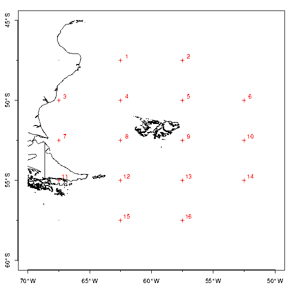
Location of the grid points centred on the Falklands
| File format |
|---|
Description of columns day month year PM-1000 W S F Z G Dir LWT Definitions: PM-1000 average pressure over the grid points minus 1000 (hPa) W westerly flow S southerly flow F resultant flow Z total shear vorticity G gale day Dir direction of flow LWT see above table |
| Main dataset: Falklands Weather Types (updated daily) | |
|---|---|
| Filename | Description |
| 20CR_1871-1947_ncep_1948-2026_18hrs_Falklands.dat | 1871-1947 20CR; 1948-present NCEP |
| 20CR_1871-1947_ncep_1948-2026_18hrs_Falklands.csv | as above in csv format (contains headers) |
| Subsidiary datasets (to allow comparison between reanalyses) | |
|---|---|
| Filename | Description |
| 20CR_1948-2012_18hrs_Falklands.dat | 1948-2010 (20CR to facilitate comparison) |
| ERA5_1979-2018_18hrs_Falklands.dat | 1979-2018 ERA5 |
| Subsidiary datasets (results for other synoptic hours) | |
|---|---|
| These files do not contain the final column field (LWT) | |
| Filename | Description |
| ncep_1948_2026_00hrs_Falklands.dat | 1948-present NCEP 00hrs |
| ncep_1948_2026_06hrs_Falklands.dat | 1948-present NCEP 06hrs |
| ncep_1948_2026_12hrs_Falklands.dat | 1948-present NCEP 18hrs |
| 20CR_1871-2012_00hrs_Falklands.dat | 1871-2012 20CR 00hrs |
| 20CR_1871-2012_06hrs_Falklands.dat | 1871-2012 20CR 06hrs |
| 20CR_1871-2012_12hrs_Falklands.dat | 1871-2012 20CR 18hrs |
Important: please read the caveats in Jones et al. (2016) noting that the long-term trends in gale frequency are partly artefacts of the changing quality of the reanalysis pressure data.
The gale index G found in the above files is calculated from the following formula:
G = [F2 + (0.5Z)2]1/2
where F is the resultant flow and Z is the total shear vorticity, see Jones et al. (1993) for further details.
In a similar vein to Hulme and Jones (1991), exceedances of a threshold have been counted and allocated a gale intensity:
G > 15 gale
G > 20 severe gale
G > 25 very severe gale
These thresholds were reduced by a factor of two compared to the UK, due to the grid being half the size. Counts are provided annually and for extended winter (MJJASO) and summer (NDJFMA) seasons.
| Filename | Description |
|---|---|
| gale_index_1800hrs_Falklands.csv | dated log of all G>15 events |
| ANN_G_thresh_counts_Falklands.pdf | Annual plots of the three thresholds |
| MJJASO_G_thresh_counts_Falklands.pdf |
Extended winter plots of the three thresholds |
| NDJFMA_G_thresh_counts_Falklands.pdf | Extended summer plots of the three thresholds |
These datasets are made available under the Open Database License. Any rights in individual contents of the datasets are licensed under the Database Contents License under the conditions of Attribution and Share-Alike.
Updated: Feb 2021, Colin Harpham